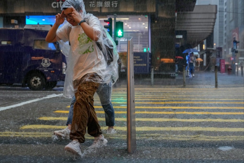
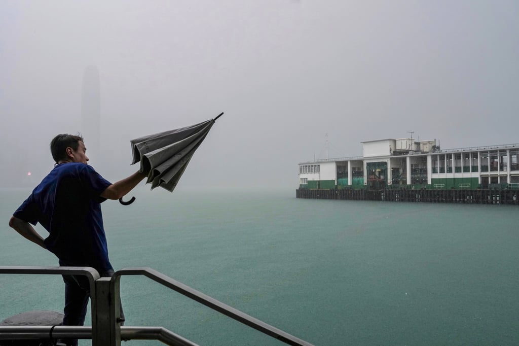
Typhoon Koinu: heavy rain and thunder continue to lash Hong Kong after storm’s passage
- Public advised to remain vigilant amid showers, even after forecaster lifted all tropical cyclone signals on Tuesday afternoon
- Observatory says squally showers, thunderstorms associated with typhoon still affecting coast of Guangdong

Hong Kong can expect showers and a few severe thunderstorms on Tuesday as the effects of Koinu will still be felt although the typhoon has moved away and weakened, according to the Observatory.
The forecaster cancelled all tropical cyclone signals at 4.20pm, before lifting the amber rainstorm warning at 5.45pm. But it said squally showers and thunderstorms associated with Koinu were still affecting the coast of Guangdong.
The forecaster at 6.45am said Koinu had weakened into a severe tropical storm but had warned of intense rain bands, issuing a black rainstorm alert at 4am. The warning was lowered to red at 10.30am, then amber at 2.30pm.
Cloudy skies and heavy rainfall were expected to persist throughout the day, coupled with several thunderstorms on Tuesday. The public was advised to remain vigilant and be wary of any potential flooding risks.

But sunny periods were expected in the coming days, the Observatory said.
