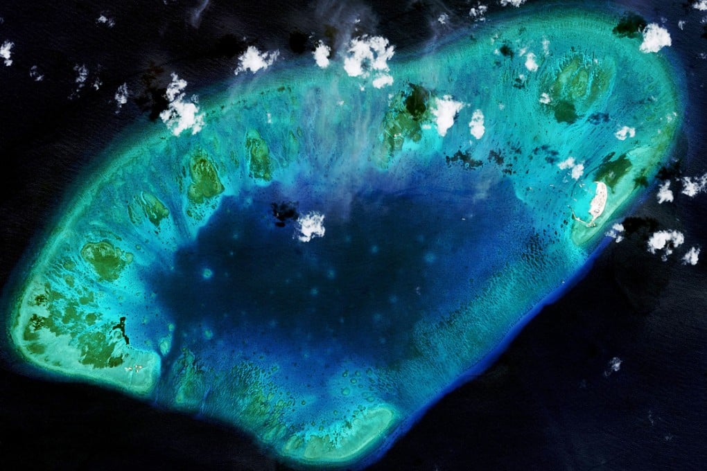
Images show how Vietnam is reclaiming land in disputed South China Sea

Newly released satellite images show Vietnam has carried out significant land reclamation at two sites in the disputed South China Sea, though the scale and pace of the work is dwarfed by that of China, a US research institute said.
The photographs, shared by Washington’s Centre for Strategic and International Studies (CSIS), show an expansion of the land area of Vietnamese-controlled Sand Cay and West London Reef in the Spratly archipelago and the addition of buildings.
Mira Rapp-Hooper, director of CSIS’s Asia Maritime Transparency Initiative, said the work included military installations and appeared to have started before China began a flurry of reclamation projects last year.
The photographs, taken by satellite imagery firm DigitalGlobe, were taken between 2010 and April 30 this year.
"On one site, it has constructed a significant new area that was formerly underwater and at another it has used land reclamation to add acreage to an existing island," Rapp-Hooper said.
The speed of recent Chinese reclamation work has alarmed its neighbours and the United States, which sees it as a potential threat to the status quo in a region through which US$5 trillion of sea-borne trade passes each year.
